
Note a click a caption of picture opens a Google Map of the view point.
In the center of Japan Main Island, Okuwa village is located on the west side of the Central Alps, alongside Kiso River, in Kiso, Nagano prefecture. It is a small village with approx. 3,500 people. About 87% of the land area of the village is forest. So it can be said that the village is in a real nature. One of the greatest places in the village is Atera Gorge, where the water in the river is really blue, called Atera Blue.


The village has a long history and people have been living in the area from thousands years ago. Actually many earthenware was excavated in the village, which you can see the Okuwa Village History and Folklore Museum. The remarkable one is “Eternal Smile” earthware pot, which is the symbol character of the village.


In the Edo period, Nakasendo highway was developed as one of the main routes between Edo and Kyoto. Nakasendo highway ran along Kiso River and two post towns; Suhara-jyuku and Nojiri-jyuku were placed in Okuwa village. Many people walked through Nakasendo highway and visited both post towns. There are some relics that make you know how the post towns and highway used to be in the Edo period.
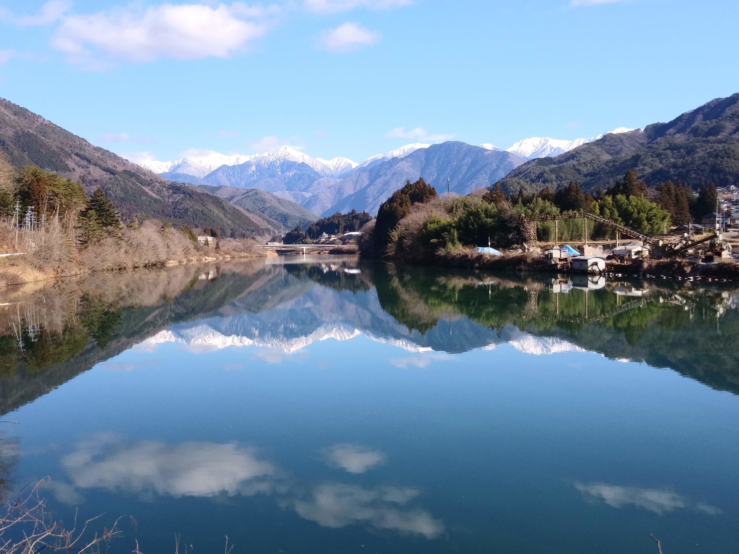
After the Meiji Restoration, traffic on the Nakasendo highway went down but a industry revolution had come to the village; Sericulture, Forestry and Hydraulic Power Stations. Those industry brought prosperity to the village. Nothing makes us remember sericulture but some relics of Forest Railway make us know it was prospering. One of the relic is the Kiso River Bridge of the Atera Forest Railway. The Hydraulic Power Stations are still running even now and have an important role for the village.

The relic of Nojiri Forest Railway, Kiso River Bridge


Visit Okuwa village and take a deep breath in the great nature with the special history.